
Laboratory of Geoprocessing (LabGEO)
The Laboratory of Geoprocessing has
been initially created by Prof. Valdenir Veronese Furtado in
the 80s. Today, the laboratory performs with various
software of processing e archives of digital and analogical
maps. The LabGEO owns state-of-the-art equipments, with the
main focus of education, research and outreach in the areas
of Oceanography and Earth Science.
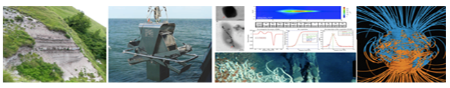
The laboratory works with research
of production, processing and interpretation of geophysical
and sedimentological properties in delta plains, continental
platforms, slopes and basins. The magnetic,
sedimentological, seismic, petrophysical, biological e
geochemical results are obtained in order to gain
information for environmental reconstructions and
understanding of the evolution of the marine and geological
processes.
The LabGEO works as a multidisciplinary research platform available to everybody that works with Marine and Earth Sciences, as other groups of the Instituto Oceanográfico, Escola Politécnica, Instituto de Geociências, Instituto de Geofísica, Astronomia e Ciências Atmosfericas, and other Brazilian and foreigners Universities.